우리가 사는 캐나다,
지도에 직접 그려봤어요 🇨🇦
The morning began with a quick science review of yesterday’s work on water, and then a race against the clock: the weekly literacy project, the Choose Your Own Adventure books, had to be finished. After a snack of fresh blueberries, the second half of the morning turned into something else entirely — an intense stretch of Canadian geography, Canada fun facts, and a geography quiz.
✍️ Finishing the Adventure Deadline day
Monday’s project came due today. Every student had to bring their branching story to a close — which, in a book where each page ends in a decision, means making sure that every path finds an ending. No loose branches, no page numbers pointing nowhere. The older students worked straight through it in their notebooks.
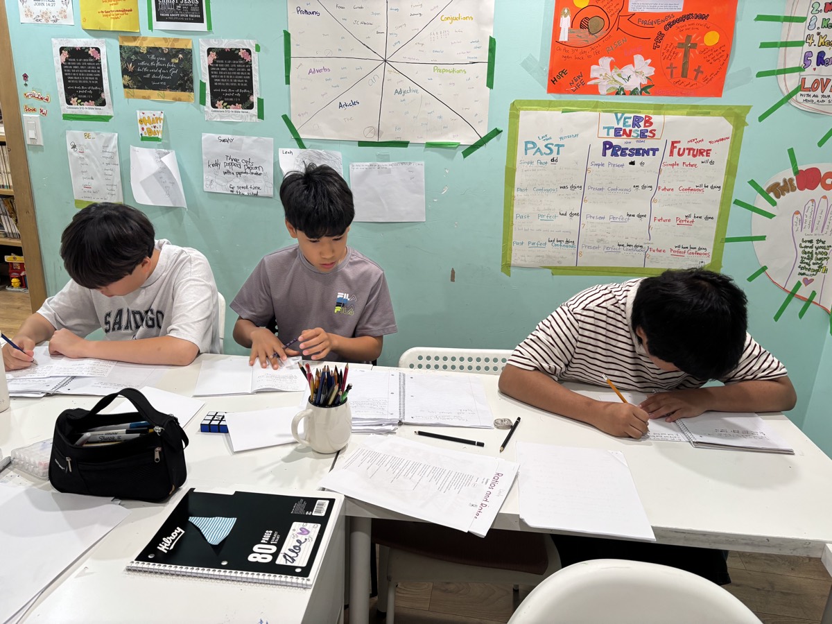
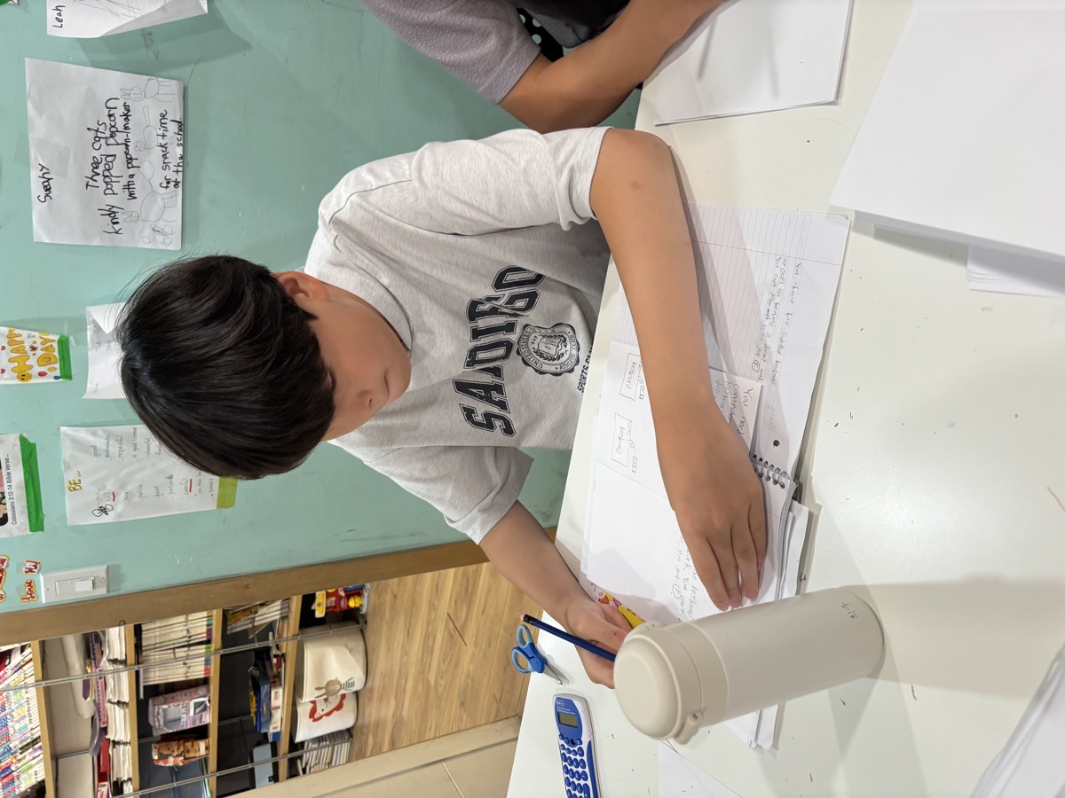
Then a snack of fresh blueberries — and straight on to the main event.
🍁 Canada Fun Facts Vocabulary first
Before the map came the words. Geography has its own vocabulary, and a quiz is much easier when you already know what the question is asking. We worked through the terms together, matched them to their meanings, and used each one in a sentence about Canada.
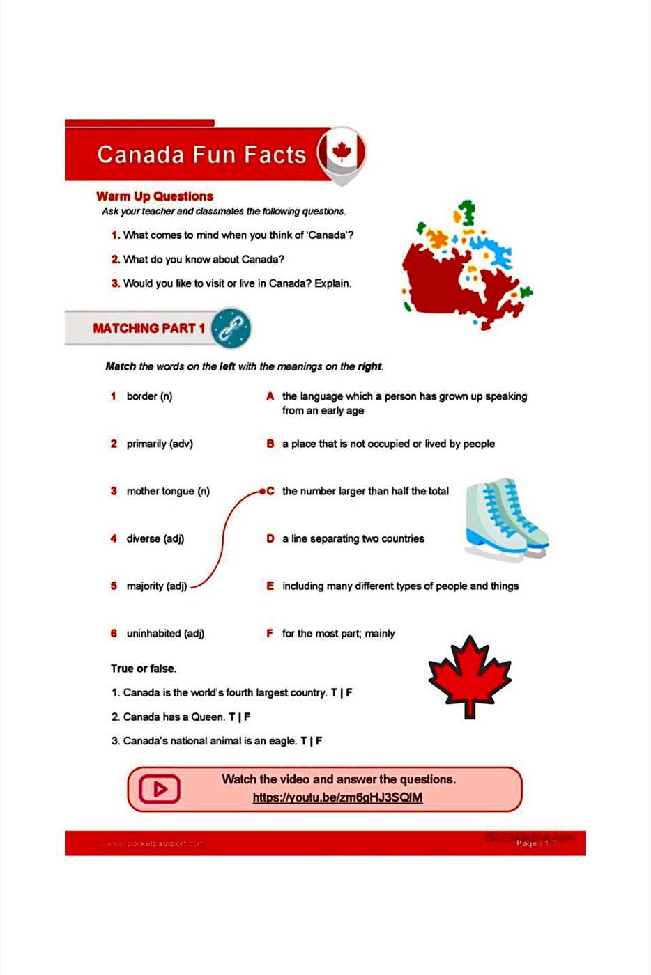
The warm-up questions were the kind that get a whole room talking: What comes to mind when you think of Canada? What do you already know about it? Would you like to live here — and why? For children who are growing up in this country, some of those answers turned out to be surprisingly hard to put into words.
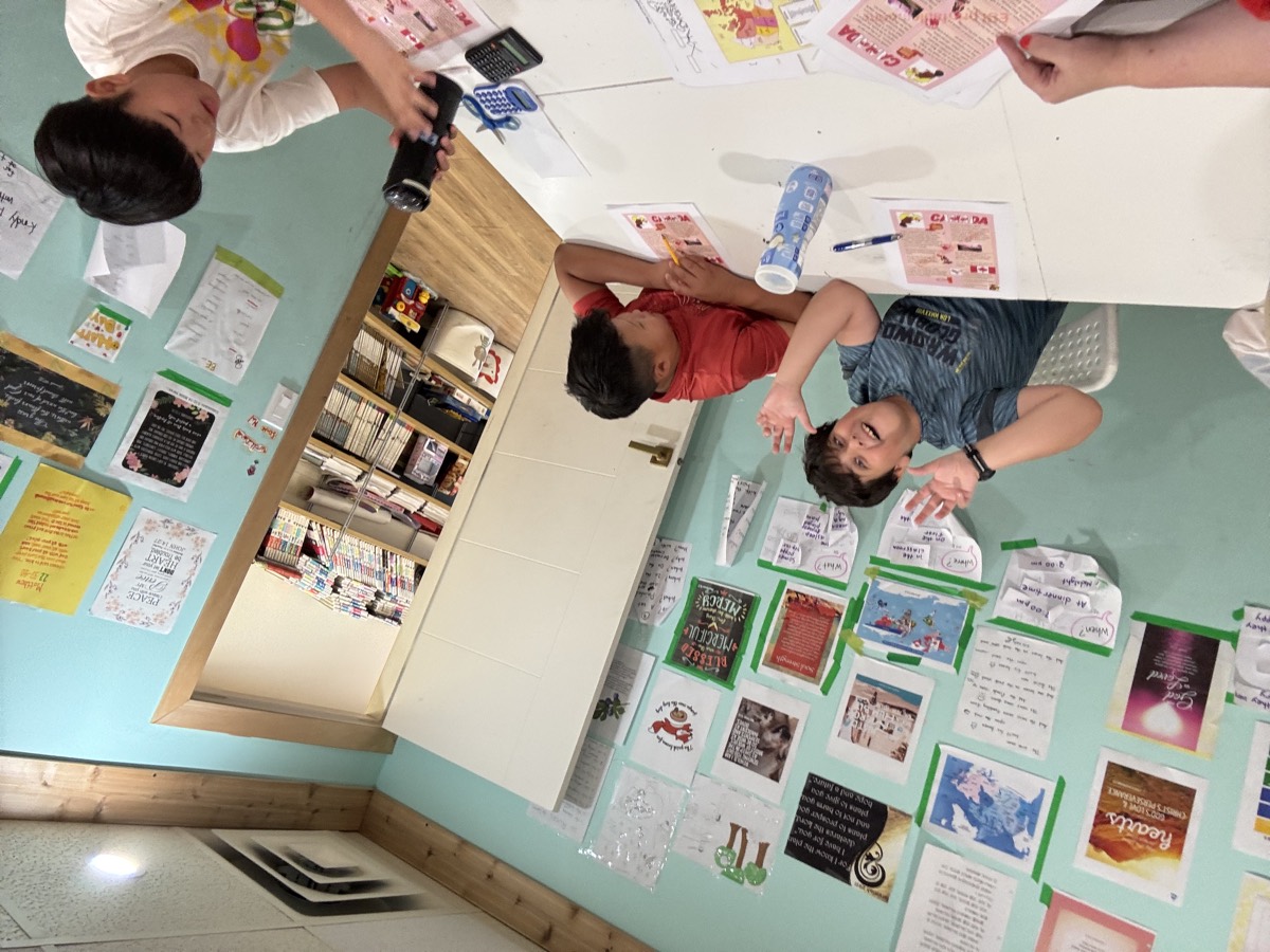
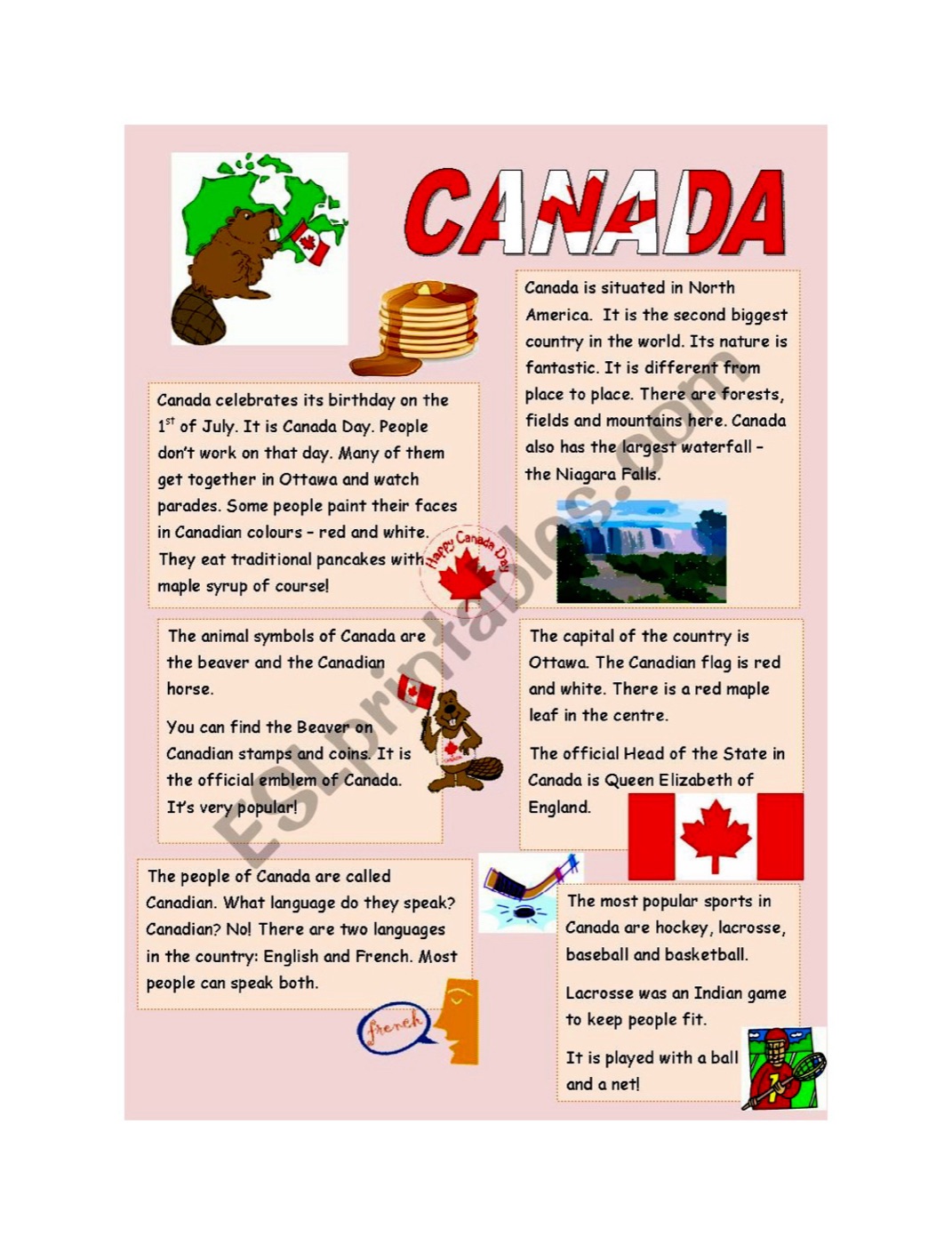
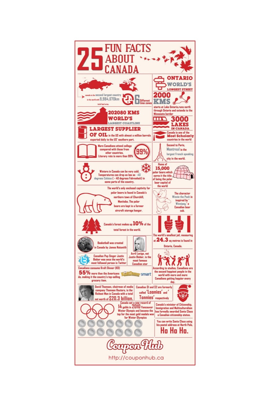
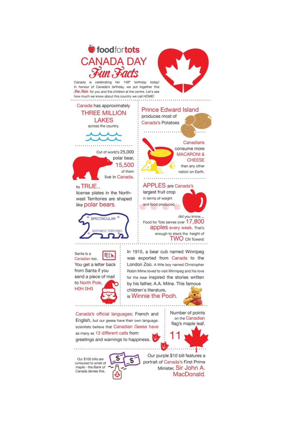
We also read our way through a set of fact sheets — a short reading page about the country, and two infographics packed with the sort of numbers children love to repeat at the dinner table.
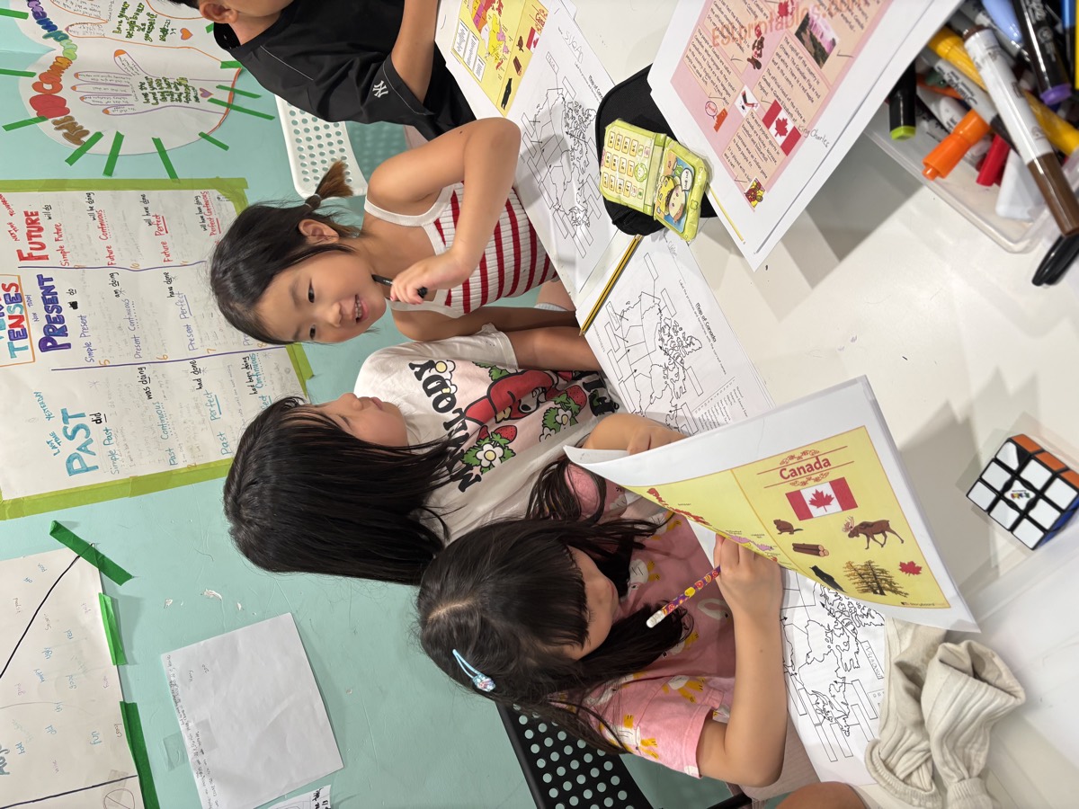
🗺️ Mapping the Country Provinces · territories · coastlines
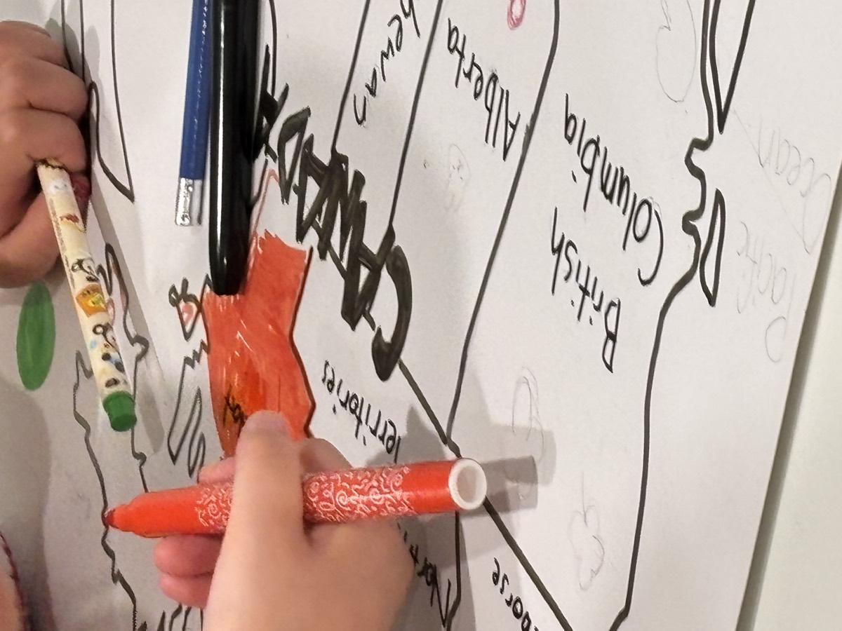
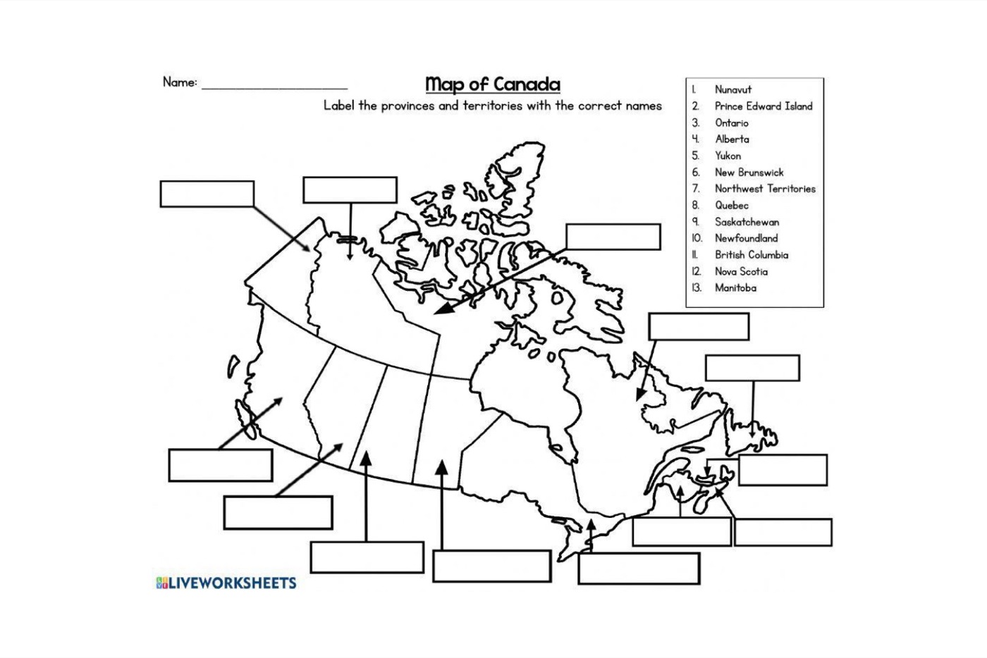
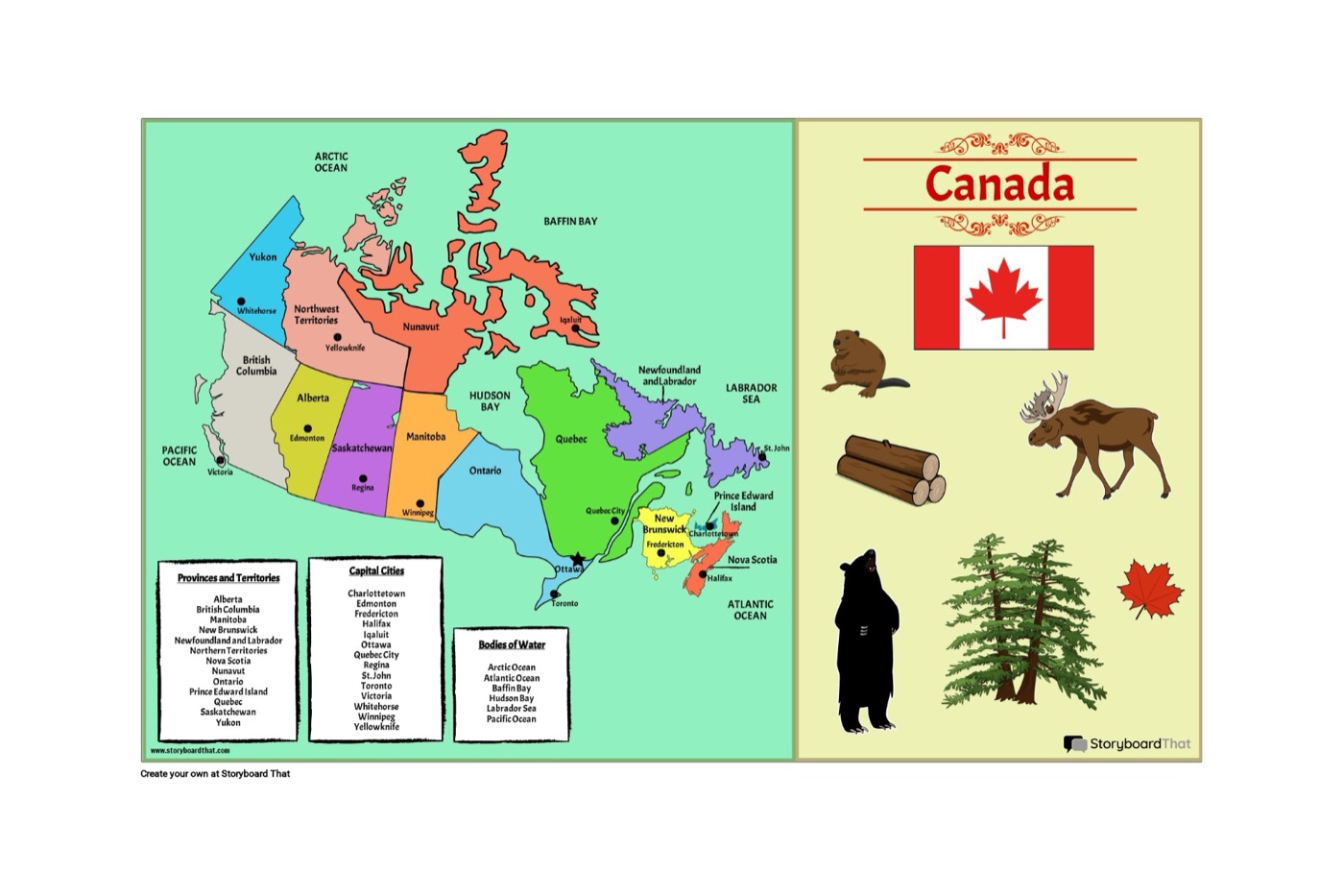
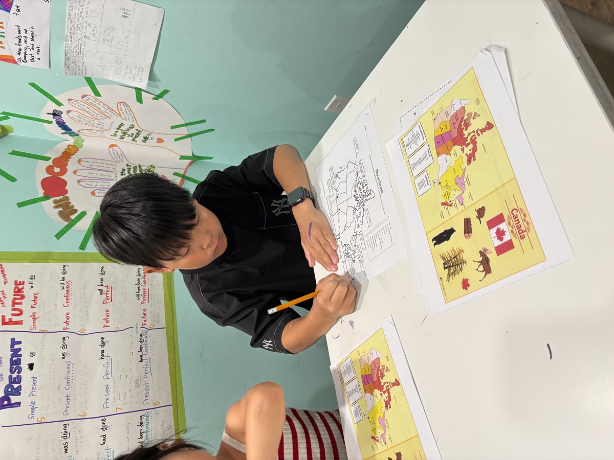
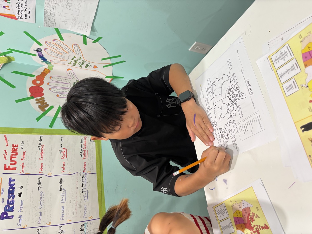
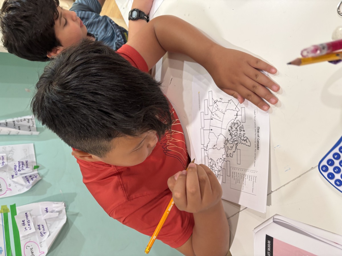
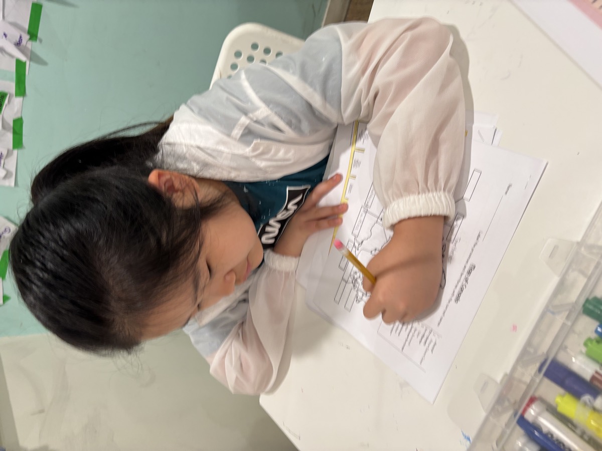
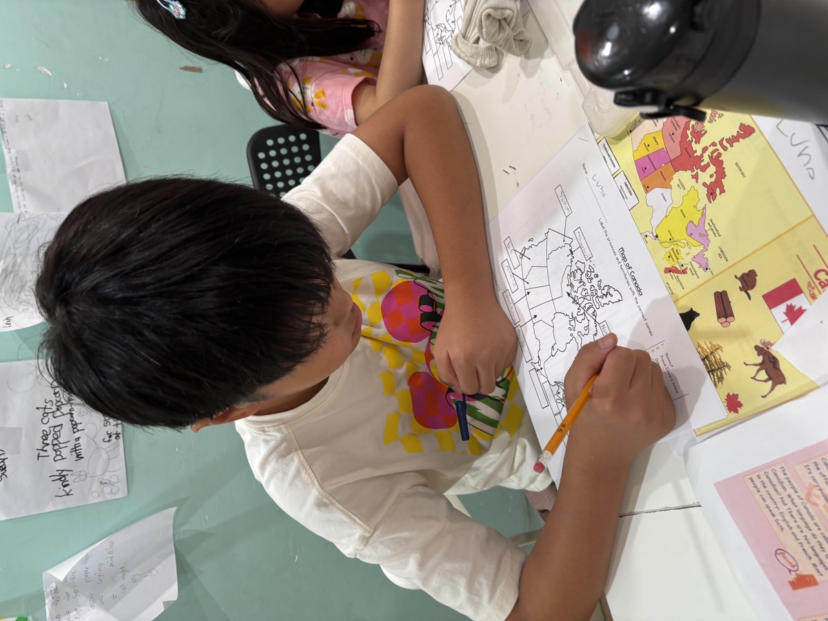
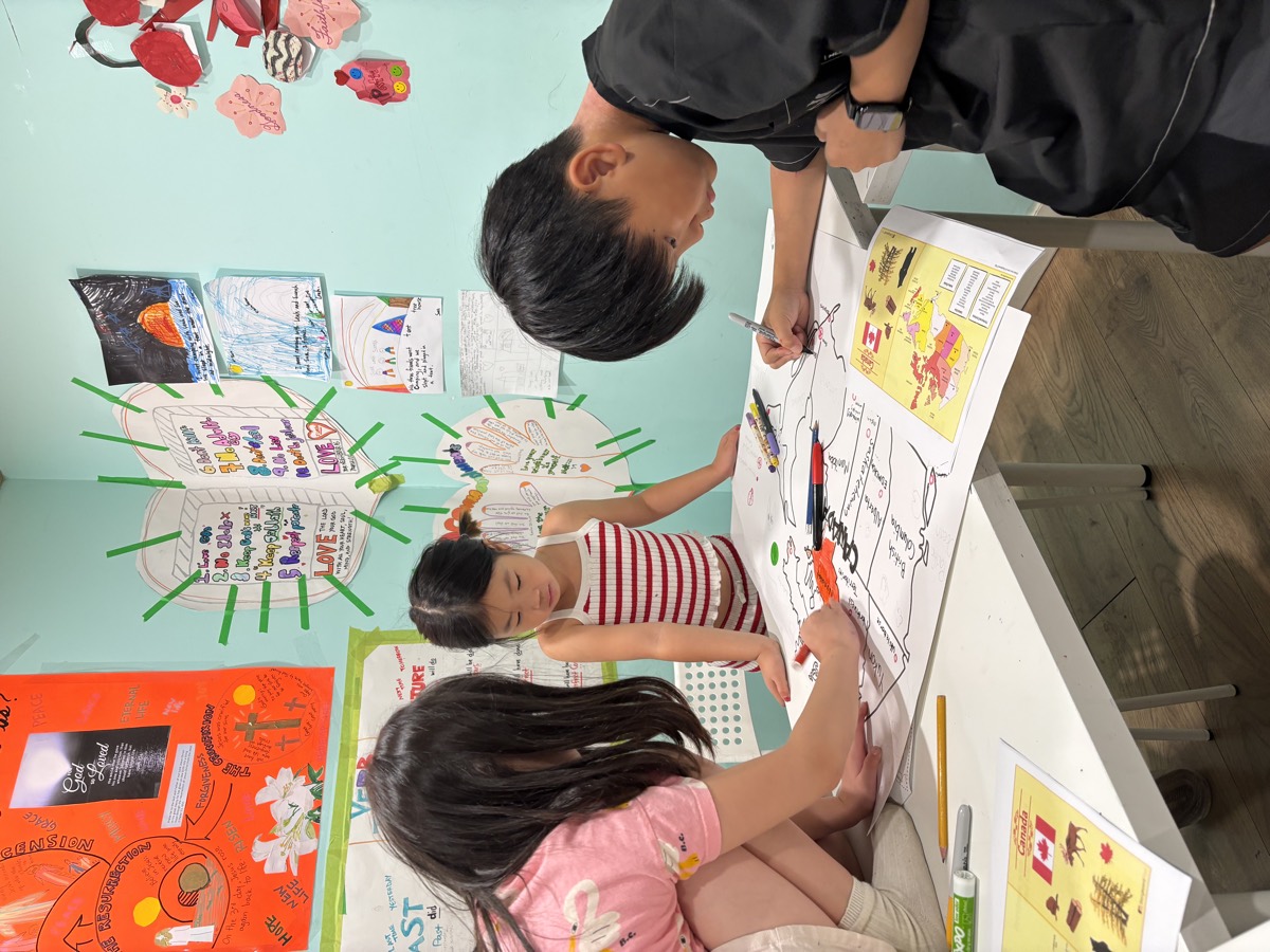
Then the maps came out. Every student had a blank outline of Canada to fill in — ten provinces and three territories, each in its right place and spelled correctly. It is a genuinely difficult task the first time, and it takes a steady pencil and a lot of double-checking against the reference map.
📝 The Geography Quiz Fifteen questions
Finally, the quiz. Fifteen questions, each one requiring the students to read the map carefully rather than guess — and several of them about the exact patch of the country the children are sitting in.
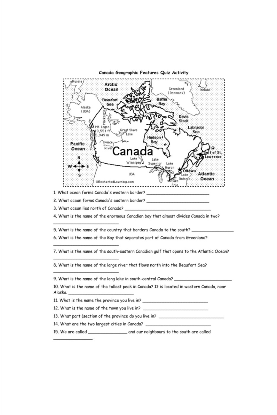
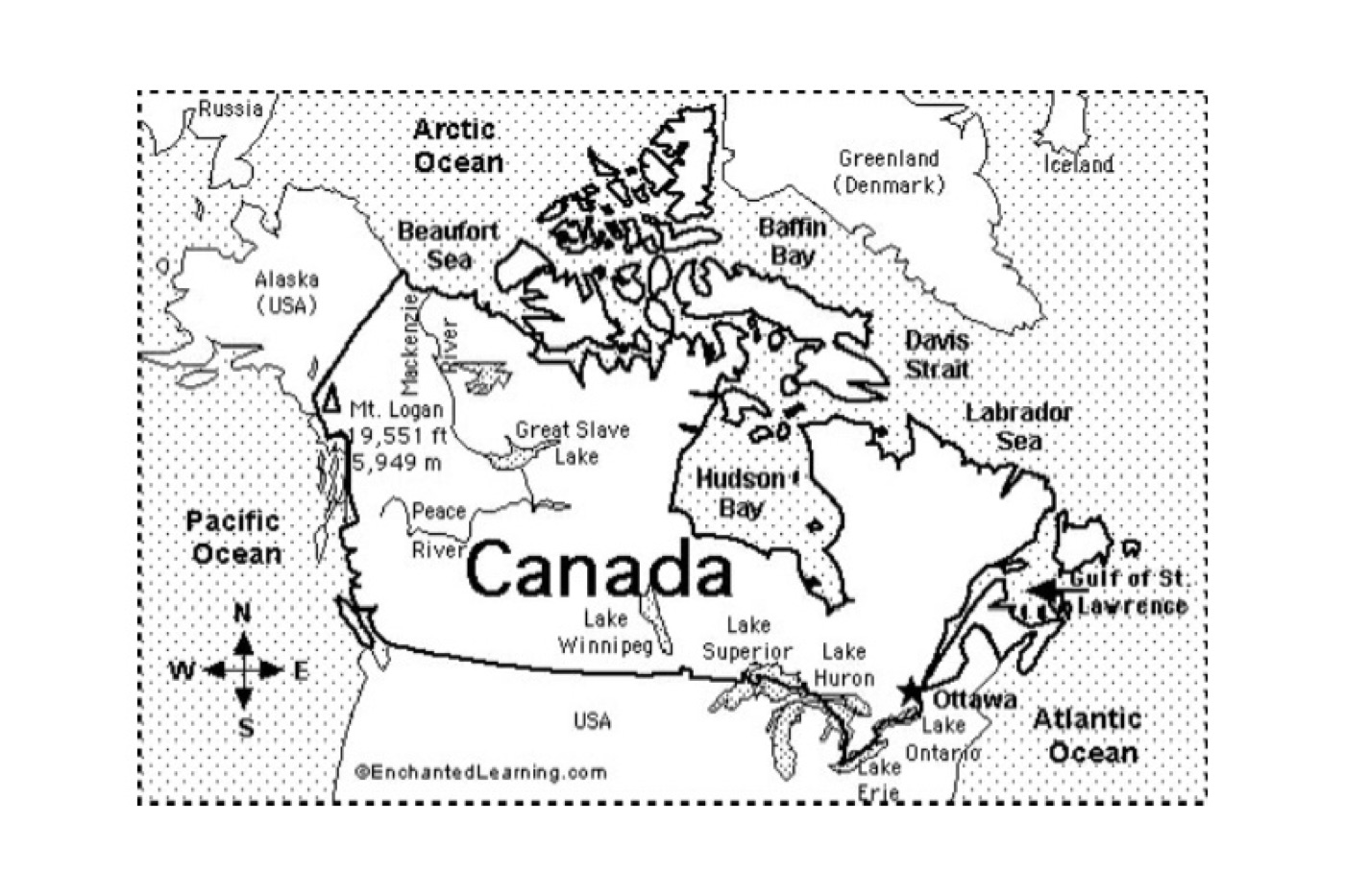
- Which ocean forms Canada’s western border? And the eastern one? And which lies to the north?
- What is the enormous bay that almost divides Canada in two?
- Which country borders Canada to the south?
- Which bay separates part of Canada from Greenland?
- Which large river flows north into the Beaufort Sea?
- What is the name of the tallest peak in Canada?
- What are the two largest cities in Canada?
- Which province do you live in — and which town, and which part of it?
That last group was our favourite. British Columbia · Coquitlam · the Lower Mainland — knowing where you are on a map of your own country is a small thing that turns out to matter.
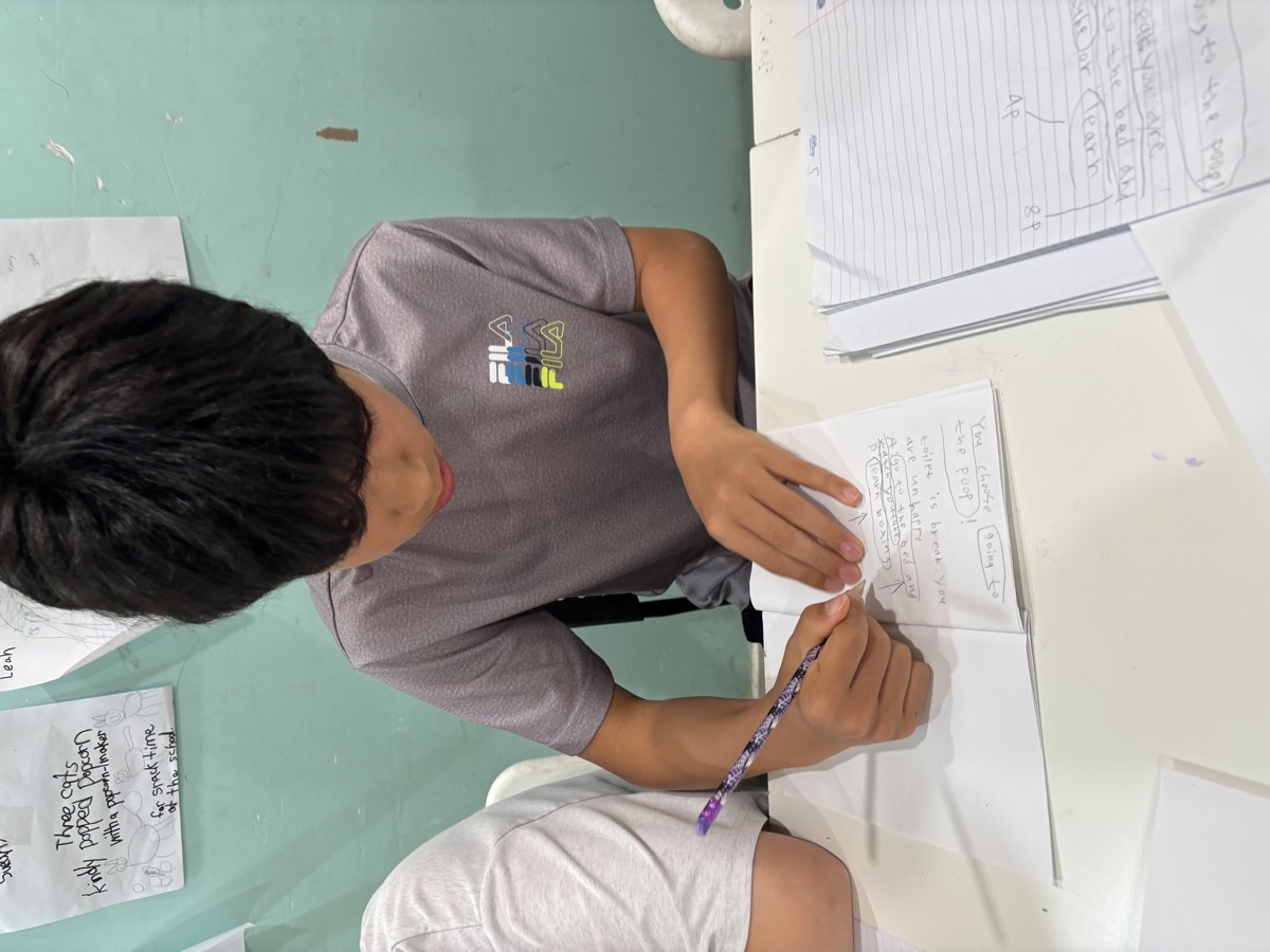
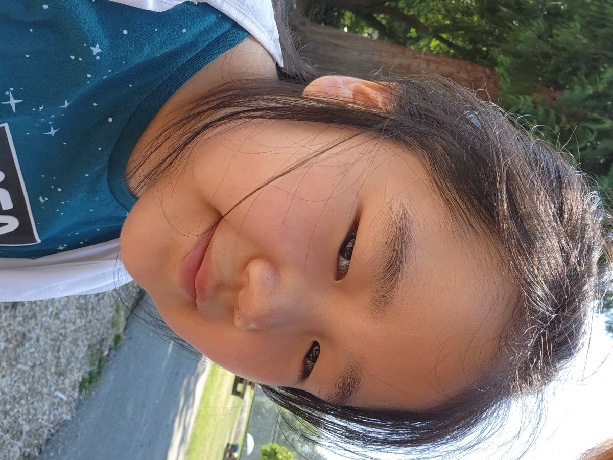
“After a quick science review and racing to finish the weekly literacy project of writing a ‘choose your own adventure’ book, and having a snack of fresh blueberries, the students spent an intense second half of the morning learning geography of Canada, Canadian fun facts, and taking a geography quiz.”
🍚 Lunch, Pool and Playground Refuel · swim · swing
Lunch was Korean and generous: braised chicken with potatoes, freshly cut kimchi and a full cooker of rice. After a morning that demanding, everyone had earned it.
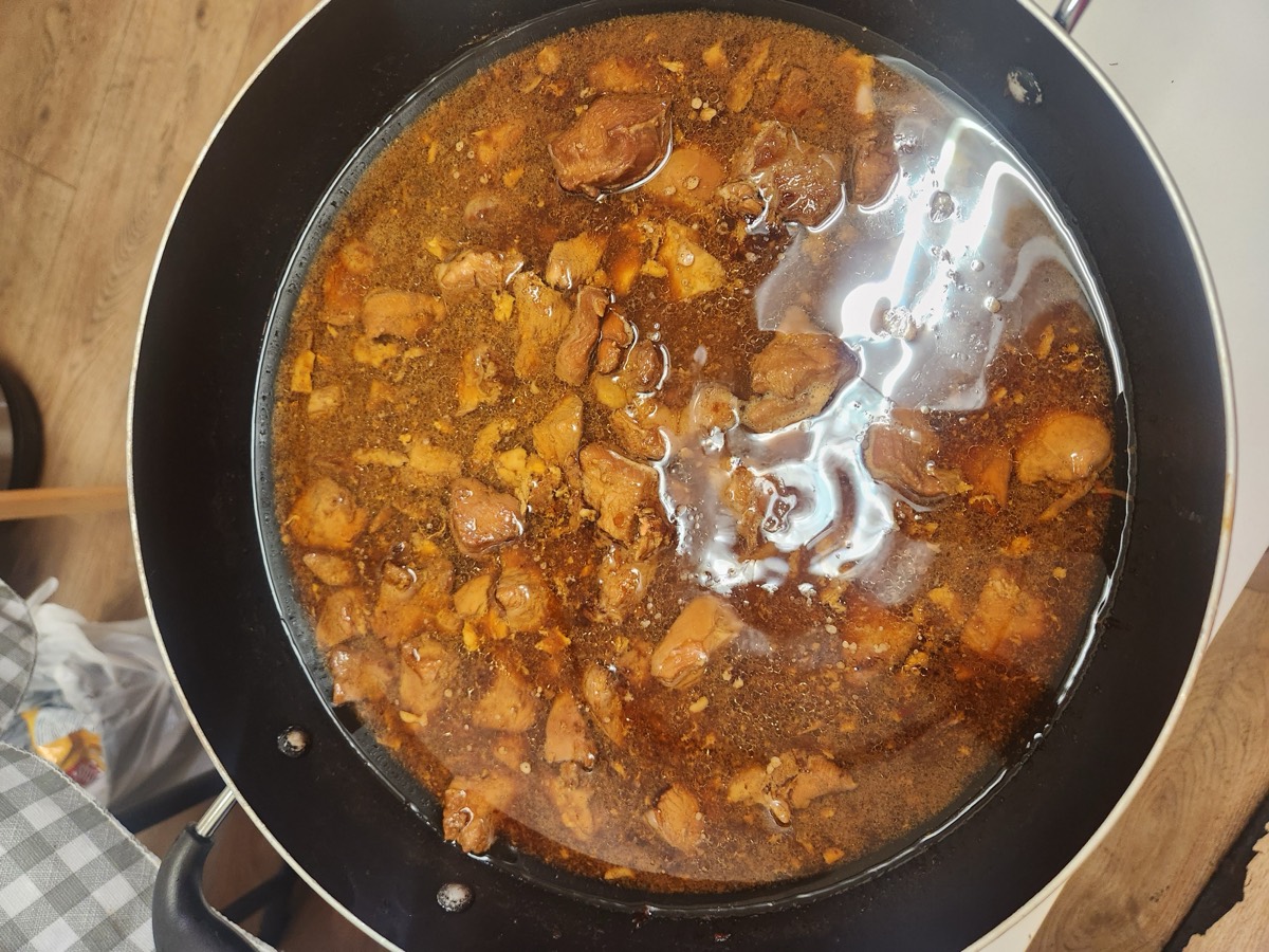
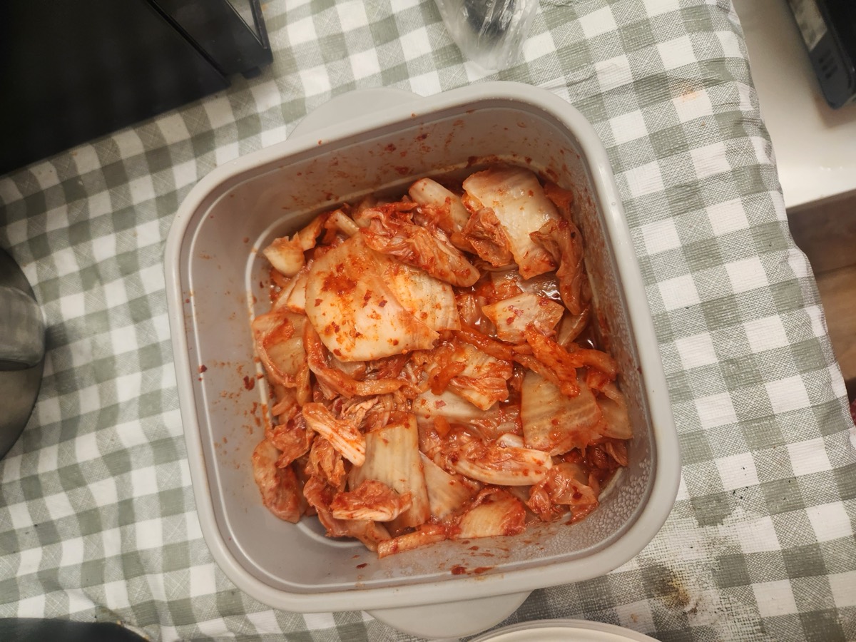
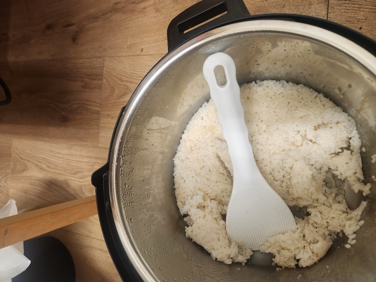
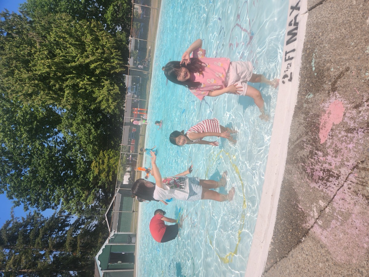
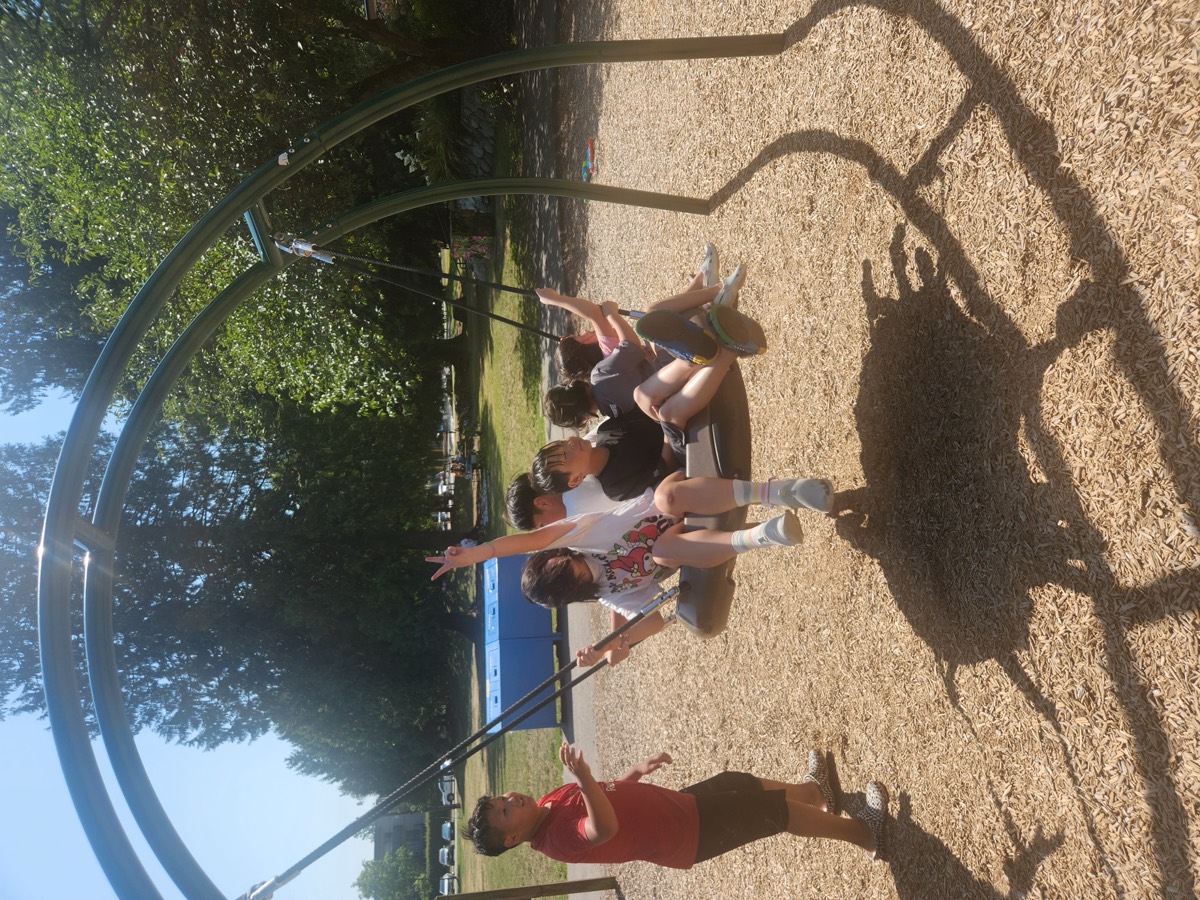
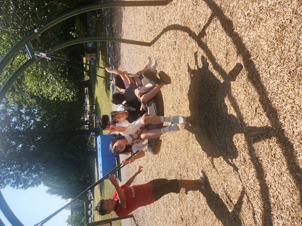
The afternoon went outside. The pool first, and then the big basket swing — which needs one very willing pusher and holds a surprising number of passengers.
Today’s Growth
Students closed out a week-long writing project by making every branch of their story resolve, then built geographic vocabulary and applied it immediately — labelling provinces and territories, reading a map for specific features, and answering fifteen questions in writing. They also placed themselves on that map: province, town, region.
Ask them tonight which ocean is on Canada’s eastern side, or how many territories there are. And then ask how their adventure book ends — there is more than one answer to that one. 🍁